Gravimetric Survey
Density differences of the rocks in the underground provoke minor variations in the gravimetric field of the Earth and can be recorded by means of high-precision measuring instruments. For geothermal exploration gravimetric, surveying is often applied to compile structural-geologic models. Compared to seismic measurements, it can be done in a particularly cost-effective manner.
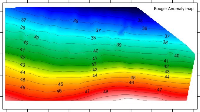
Gravimetric surveying can be applied in various areas under investigation: from fault-dominated systems via active graben systems to plutonic intrusions.
GTN offers the following services:
- Planning and survey design
- Support of the measurements (“bird dog“)
- Interpretation and modelling of gravimetric data
Gravimetric surveying supports the interpretation of geological structures and can be done quickly and cost-effectively.