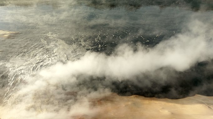
Exploration of Geothermal Reservoirs in the Aydın Region (Turkey)
The Büyük-Menderes graben (BMG) is considered as one of the most important geothermal provinces of Turkey. GTN conducted an extensive geological and geophysical exploration of a still little explored section of the BMG in successive stages.
In the first phase of exploration, 2D magnetotelluric (MT) logging and geological field mapping have been carried out followed by the drilling of a slim-hole exploratory well. The MT data have been inverted along two 2D profiles and the models resulting therefrom have been interpreted.
The second phase of exploration covered 3D MT logging, interpretation of the seismic data, gravimetry and magnetics. The 3D MT logging has been supervised, the data quality has been checked and the modeling results have been interpreted. The seismic data have been subjected to a time-depth conversion and applied for the compilation of a structural model. The gravimetric logging has been planned, supervised and subjected to quality control. Afterwards, the Bouger anomaly maps, vertical and horizontal deviations, have been applied for the structure-geological interpretation, and a 3D forward modeling has been conducted.
Any available information and the results of the different geophysical methods have been transferred into a combined 3D model and interpreted in an integrative approach.
Following a final interpretation of the data, 2 wells were drilled to depths of 3.800 m and 4.450 m respectively. GTN was responsible for the geological drilling supervision as well as the scientific supervision and evaluation of the hydraulic tests and stimulations.
Role
- Planning and modeling of magnetotelluric data
- Planning and modeling of gravimetric data
- Time-depth conversion and interpretation of 2D seismic data
- Interpretation of magnetic data
- Structure-geological mapping in the field
- Compilation of a geological 3D model including all methods
- Geological support for the drilling of several wells
- Supervision and evaluation of hydraulic test work